


Environmental monitoring and conservation efforts
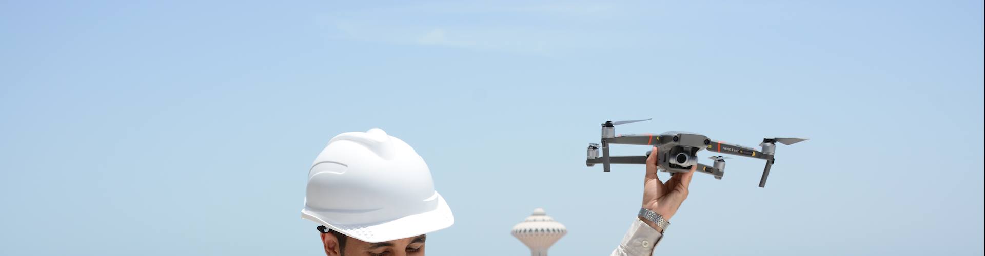
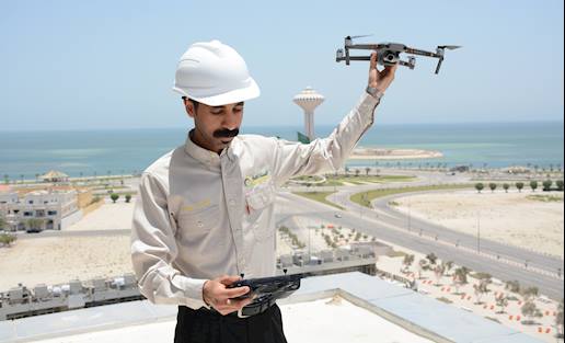
Drones have revolutionized environmental monitoring and conservation efforts, offering a range of applications that enhance our understanding and protection of the environment. At Estedama, we leverage drones’ multiple capabilities to provide a unique vantage point, allowing us to survey large areas quickly and efficiently.

Our services aim to help our clients
We can assist our clients with effectively managing and remediating contaminated evaporation ponds. Our services include site assessment, water and sludge removal, liner inspection, and liner replacement.
Our Drone Services includes:


Landfill Surveys
Able to conduct comprehensive surveys of landfills, drones can provide valuable information for waste management and environmental monitoring. They can capture aerial imagery and construct accurate 3D models of the landfill sites, allowing for volumetric calculations, estimating remaining capacity, and planning waste disposal strategies. Drones can also monitor landfill stability and identify areas prone to erosion or leakage, helping to prevent environmental hazards.
Ecological Restoration
Drones are employed in ecological restoration projects to assess degraded ecosystems, monitor habitat recovery, and aid in reforestation efforts. They can capture high-resolution imagery, create 3D models, and help identify suitable areas for tree replanting or habitat restoration activities, facilitating effective and strategic environmental conservation initiatives.
Wetland and Coastal Monitoring
Another common use of drones is in the monitoring of wetlands, coastal areas, and marine ecosystems. They can capture aerial imagery, assess erosion patterns, monitor water quality, detect invasive species, and contribute to coastal zone management, marine conservation, and restoration efforts.
Pollution Detection and Spill Inspection
Drones equipped with specialized sensors can detect and monitor various types of pollution, such as air pollution, water pollution, or soil contamination. They can collect data on pollutant levels, identify sources, and track the spread of contaminants over time. This information enables environmental agencies to take targeted measures to mitigate pollution and protect ecosystems and human health.
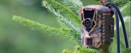
Wildlife Monitoring and Conservation
Drones can be used to monitor wildlife populations, track animal behavior, and aid in conservation efforts. Equipped with cameras and sensors, drones can gather data on animal habitats, migration patterns, and the impact of human activities on wildlife. This information helps researchers and conservationists make informed decisions for protecting and managing biodiversity.

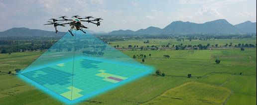
Environmental Mapping and Planning
Drones can create detailed maps and models of environmental areas, providing valuable information for planning and conservation purposes. By capturing high-resolution aerial imagery and employing advanced mapping techniques, drones can assist in land-use planning, coastal zone management, or the identification of protected areas. These maps facilitate informed decision-making and sustainable environmental management.